Brady Moore | August 26, 2019
Why is this interesting? - The Wayfinding Edition
On wayfinding, Google Maps, and the brain's relationship with navigation
Recommended Products

A book noted by Maura O'Connor that explores how the use of navigation tools like GPS affects the human brain, with insights into the implications for conditions like PTSD and Alzheimer’s disease.
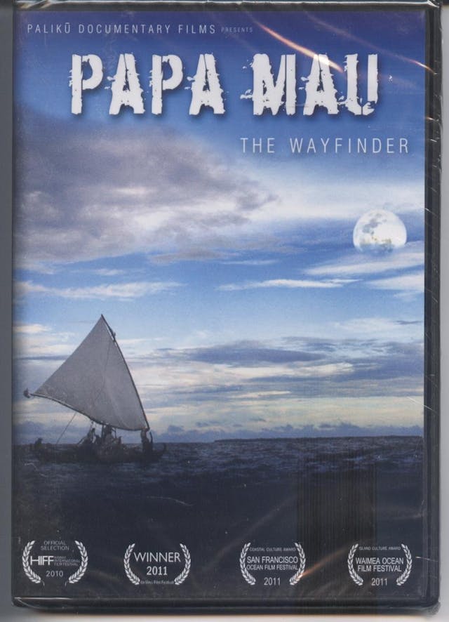
A documentary film that documents the Polynesian effort to regain traditional maritime navigation methods.

A film that documents the Polynesian effort to regain traditional maritime navigation methods and includes using a Star compass, taking in physical signals from the sea, wind, skies, and stars, passed down through cultural knowledge.
After the positive response to John Peabody’s WITI edition on his Outward Bound solo, we wanted to delve a bit more into the topic of navigation. Our friend Brady Moore (BJM) is a former Army Special Forces officer (Green Beret) now working in technology in NYC. He is a second-time WITI contributor. Check out his excellent newsletter on planning, mental models and applying military lessons to the broader public, The Quartermaster. - Colin (CJN)
Brady here. As a candidate in Special Forces Assessment & Selection (SFAS)—the tryouts for the Special Forces Qualification Course (SFQC or “Q-Course”)—in the fall of 2006, I had the pleasure of testing my land navigation skills on Camp Mackall’s Star Course, the legendary patch of Carolina pine and sand just north of the Rockingham Speedway and southwest of Pinehurst golf resort. Land navigation is a key component of just about every major combat-focused qualification course in the US Army and typically involves using a 1:50,000 map, a military protractor, and a lensatic compass to find given points at remote spots in the woods on a timed course both day and night. (Brett McKay at Art of Manliness does a pretty good step-by-step of how this all works between the tools.)
Most Army land navigation courses give out a number of points at the beginning and let the tester determine the best sequence for finding them. The Star Course is a one-by-one event, meaning you get one point per checkpoint and there’s a “point sitter” at each one ready to give you your next location. If you have difficulty finding one of your points, that could be as far as you get that day. Having completed land navigation courses in South Carolina, Georgia, Upstate New York, and Washington, I could say that the Star Course was the most difficult in terms of distance, time, and density of vegetation (a bigger factor than you might imagine) than I'd ever come across. I covered dozens and dozens of miles looking for those points, day and night. Looking back, I don't know how I made it to some of them.
The Army uses land navigation as a test for a few reasons. First, it’s an individual event, so every tester’s got to get by on skill. Second, there's a ton of variability: Each tester must make it through the forest on their own. Third, you have to take what you're seeing on instruments and paper and relate it to the real world in real-time. It's a cognitive competence test and most courses don't give you much time to practice. It’s easy to panic and get lost (especially when it’s a night course), so successful candidates have to keep their wits about them the whole time.
Why is this interesting?
What I didn't realize then is that this practice of land navigation was forming my mind and thoughts in a certain way. Unfortunately, it’s a way that I've likely lost after a decade of using Google Maps for navigation on my iPhone. As Maura O'Connor notes in her new book Wayfinding, and a recent Washington Post article, the hippocampus—the part of the brain that allows us to orient in space, recall events from the past (episodic memory) as well as the ability to imagine ourselves in the future—shrinks when it isn’t used. She also notes that atrophy in that part of the brain is linked to post-traumatic stress disorder and Alzheimer’s disease. It seems not using a map isn’t just affecting how I think today, but it can also affect my thoughts well into the future. By not using my brain, I’m allowing it to wither.
And it’s not just me—O’Connor notes that in 2008 only 8% of smartphone users were getting directions from apps like Google Maps—by 2014 that number was 81%. Are we setting ourselves up for a less-cognitively-capable society by relying so much on GPS, in such a widespread way?
There has been a 30+ year Polynesian effort to regain traditional maritime navigation methods documented in the films Papa Mau: The Wayfinder and Moananuiākea. This body of knowledge includes using a Star compass, taking in physical signals from the sea, wind, skies, and stars, and is passed down through cultural knowledge recorded in years of chants, dances, and stories. Wayfinding looks at other similar efforts to reclaim traditional navigation methods both among the Inuit in Alaska and hunters in rural Australia. Just as the rest of the world is using the most lightweight and convenient ways of getting directions, these societies are reviving the old ways, which require lifetimes of effort to maintain and pass on. For them, navigation is an aspect of culture rather than a day-to-day chore to be tackled with your pocket device.
Militarily, the dependence of other technology on GPS has become so deep that new ways of navigating without GPS are actively being sought and developed. Whether through LIDAR or WiFi-signal direction finding, self-referencing methods for military systems to get an assessment of their relative position is becoming more and more important. Adversary ability to deny GPS signal, as well as the likelihood of future conflict taking place in megacities where signal can be intermittent, are pushing R&D shops to find other ways for systems to know where they are.
All told, I think the problem is one of thoughtful adoption. GPS is incredibly capable (usually) and incredibly convenient when delivered by smartphone. The problem is that like so many other modern conveniences, we seem to have adopted them into our day-to-day lives without fully thinking through the second- and third-order effects. Hopefully we can find better ways of building mental capacity while being efficient and accurate with our own navigation. After learning all this I think I’ll be trying to put the GPS away a lot more often. Maybe I should try getting back into the woods with my map, protractor and compass again. (BJM)
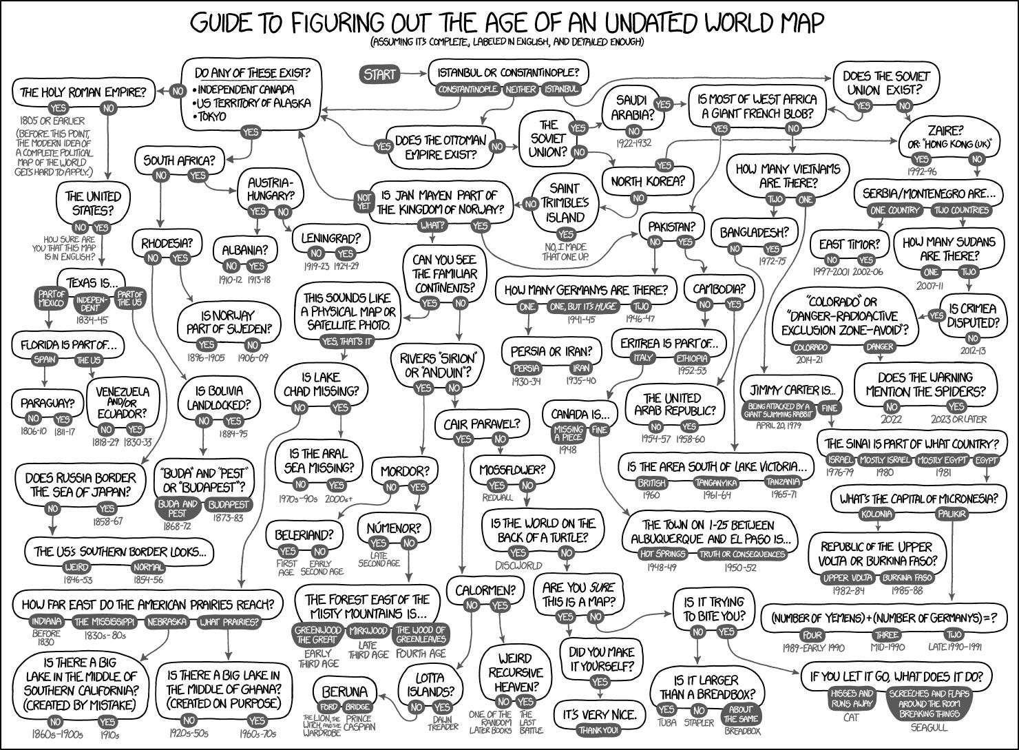
Flowchart of the Day:
Guide to figuring out the age of an undated world map from XKCD. (NRB)
Quick Links:
Jurek Martin of the FT recalls unlikely encounters with an ancient dynasty, from dance floor to tennis court (CJN)
Return of the sextant: US Navy Brings Back Navigation By The Stars For Officers (BJM)
How to be successful at SFAS land navigation (BJM)
Thanks for reading,
Noah (NRB) & Colin (CJN) & Brady (BJM)
PS - Noah here. I’ve started a new company and we are looking for our first/lead product designer to join the team in Brooklyn. If you are a product designer or know anyone who is great, please share. Dinner’s on me at a restaurant of your choosing if you help us find someone.